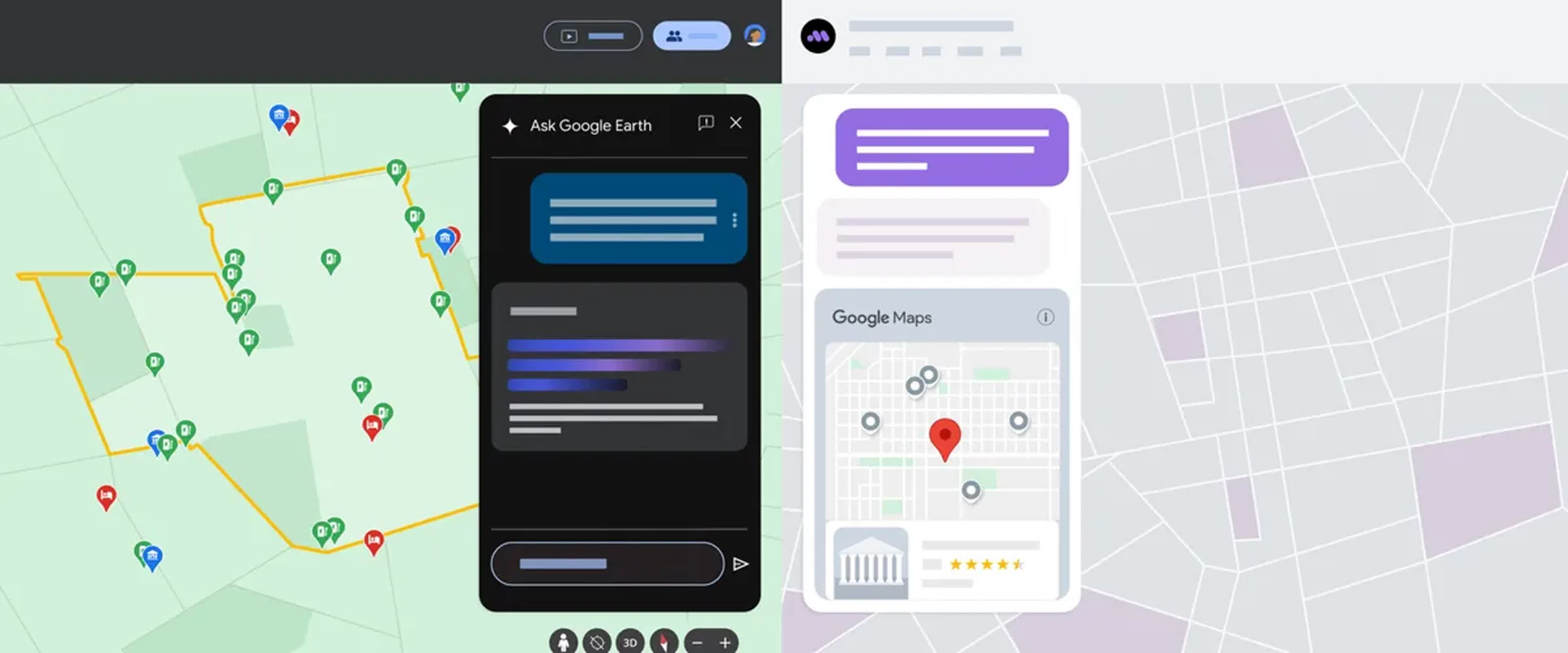
What just happened? These updates are a significant step forward in integrating generative AI with geospatial technologies. As these features roll out to users, developers, and urban planners, Google hopes they will transform how we interact with our physical environment.
Google is updating its mapping platforms with new generative AI capabilities based on its Gemini AI model. The updates, rolling out across Google Maps, Google Earth, and Waze, aim to enhance these services and solve complex geospatial problems.
Starting this week, Google Maps users in the US on Android and iOS will receive more detailed and contextual search results powered by Gemini AI. The new feature allows users to make conversational requests, such as asking for suggestions for a night out with friends in a specific city. Gemini curates responses using the vast database of places and user reviews within Google Maps.
The Gemini model analyzes and fact-checks information from the Maps database, including place details and user reviews, to ensure accuracy in its responses, said Chris Phillips, VP and General Manager of Geo at Google. The system will also attribute information from third-party sources like blogs when relevant.
Other new features include enhanced route exploration, which offers suggestions for landmarks and points of interest along the way. Google Maps has also introduced end-of-route information such as parking suggestions and pedestrian directions.
Augmented reality assistance has also been incorporated into Maps, as has weather disruption reporting, which informs users about potential weather-related delays on their routes. Furthermore, Google Maps now features immersive views for over 150 cities worldwide. In urban environments, more detailed lane information is set to be rolled out next month.
Google Earth is receiving Gemini capabilities to assist urban planners in accessing deeper, city-level insights and reduce the time spent analyzing data from days to minutes. For example, a transportation planner can ask Google Earth to map the five zip codes with the fewest electric vehicle chargers relative to their geographic area size. The system uses multi-step reasoning to determine the answer and generates a custom visualization.
This feature was developed in partnership with Google Research and X, the moonshot factory. Google will begin piloting Gemini capabilities in Google Earth next month.
Waze, now fully integrated into Google's Geo division, is introducing AI-enhanced natural language processing for incident reporting. The new "conversational reporting" feature allows users to verbally describe road conditions or hazards without needing to select specific icons on their device.
Additionally, Waze is making it easier for map editors to add school zones to the map and will alert users when they're passing through one. This feature is expected to roll out to iOS and Android users later this year.
For the more than 10 million websites and apps using Google Maps Platform, Google is introducing "grounding with Google Maps" for developers so they can integrate place data into their generative AI-powered experiences. It is designed to make answers generated by large language models more factual, reflecting real-time updates from the 250 million places in Google Maps.
Rivian will soon begin using Gemini capabilities in the Places API to show AI-generated summaries of restaurants, shops, and supermarkets on their vehicle infotainment screens.


